Hurricane Trudy kept its strength on Saturday while moving towards Mexico’s western coast. Forecasters warned the storm could strengthen before weakening on Sunday.
A hurricane warning stayed in effect from Manzanillo in Colima state to Cabo Corrientes in Jalisco. The United States National Hurricane Center stated that Trudy was located about 305km south-southeast of Manzanillo early on Saturday.
The system carried maximum sustained winds of 150 km/h. It moved at a speed of approximately 13km/h towards southwestern and west-central Mexico.
Meteorologists expected the storm to pass near the coast overnight into Sunday. Hurricane conditions were anticipated within the warning area on Saturday night, alongside tropical storm conditions spreading through the region during the day.
Trudy is forecast to drop 10 to 20cm of rain across parts of Michoacan, Colima and Jalisco through the weekend. Isolated rainfall totals could reach about 38cm in certain areas.
The National Hurricane Center warned that this downpour raises the risk of life-threatening flooding and landslides, particularly in steep terrain. Outer rain bands could also produce up to 15cm of rain in Guerrero and Nayarit, where localised flash flooding is possible.
Authorities warned of coastal flooding from storm surges in areas exposed to onshore winds. These conditions are expected to bring large and destructive waves to the shoreline.
Swells generated by the hurricane were already affecting sections of Mexico’s southwestern coast on Saturday. These swells are projected to spread northward towards the country’s west-central coast, creating life-threatening surf and rip current conditions.
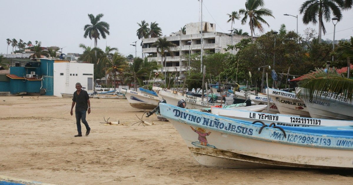
The Mexican navy urged the maritime community and coastal residents to exercise extreme caution. Officials cited high waves, heavy rains and the rising risk of river levels, floods and landslides in vulnerable areas.
The state government of Colima reported that immediate risks were low on Saturday. Officials said the storm could still bring heavy rainfall with damaging effects because the ground is already saturated from previous Pacific storms.