UN votes to adopt world map representations reflecting the true physical proportions of global landmasses were overwhelmingly passed during a general session of the United Nations General Assembly on Friday, according to reports by Al Jazeera and Agence France-Presse. The landmark resolution, spearheaded by an alliance of African member states, received formal backing from one hundred and sixty-four countries seeking to end distortions entrenched by conventional cartography. The United States voted against the measure, while six other delegations chose to abstain from the final roll call.
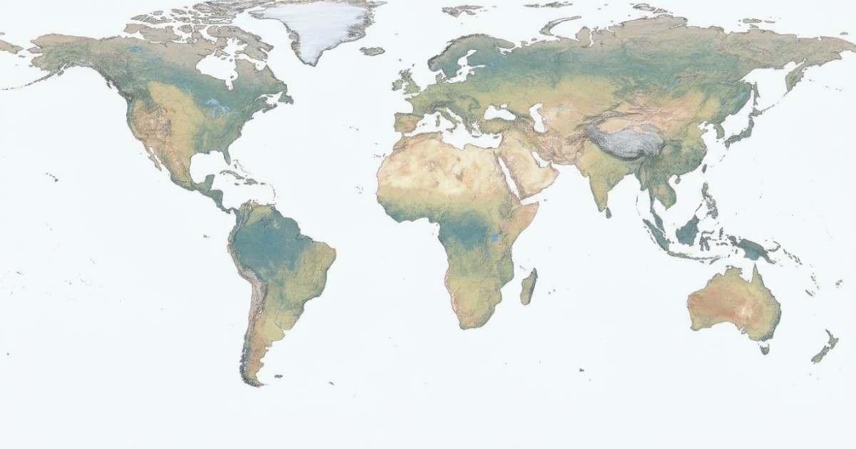
The adopted framework endorses the Equal Earth cartographic projection as a scientifically robust mechanism to improve geographical accuracy across international charts and educational materials. Introducing the draft before the assembly, Foreign Minister Robert Dussey of Togo noted that maps serve as institutional instruments that shape education, nourish creative imagination, and guide collective social perceptions. Dussey affirmed that the diplomatic victory directly validates African geographical reality on the world stage.
Centuries of navigational and academic usage had normalized the Mercator projection, which heavily exaggerates landmasses positioned near the polar extremes while shrinking continents along equatorial latitudes. Developed in the sixteenth century to assist maritime voyages with straight compass bearings, the historic design portrays Greenland as roughly equal in scale to Africa, despite the African continent being fourteen times larger in physical reality. Covering over thirty million square kilometers, Africa easily encompasses the combined territorial footprints of China, the United States, India, and most of continental Europe. Scholars have argued that prolonged reliance on distorted visuals reinforced unconscious geopolitical biases against developing nations.
The newly endorsed Equal Earth model preserves proportional surface areas across every major continent without distorting continental forms beyond recognition. Regions across Africa, Latin America, South Asia, and Oceania appear with their proportional geographical footprints fully restored. Academic observers emphasize that introducing accurate cartography into primary curricula will correct decades of spatial misconceptions among students and policymakers.
American representatives expressed hesitation over the proposal, arguing that departing from long-established navigational conventions could introduce unnecessary technical complications into specialized mapping fields. Broad international consensus nevertheless favored moving away from Eurocentric navigational grids in favor of equitable geographical parity.
United Nations secretariats have begun administrative preparations to incorporate the approved projection into internal documentary materials and affiliated agency publications. Educational bodies across several sponsoring member nations indicated that updated cartographic guides will enter distribution ahead of forthcoming academic terms.