Since October 7, 2023, the geographic boundaries of Israeli military control in the surrounding regions have evolved significantly beyond what is presented in official statements or drafted on tactical maps. Each ceasefire agreement has been accompanied by a new map, yet the reality on the ground consistently prompts the same question: Where do the forces truly stand?Discrepancies between paper and reality are profound.
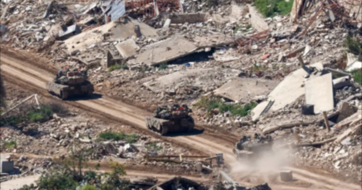
The Digital Investigations Team at Al Jazeera’s Open Source Unit has meticulously tracked three critical areas where new borders of Israeli military presence have emerged: the Gaza Strip, southern Lebanon, and southern Syria. In Gaza, the investigation focused on the so-called "Yellow Line," which was purportedly the limit of Israeli control marked by concrete structures. However, current data suggests this line is far from the definitive boundary of military influence.Lebanon presents a disturbing picture of expansion.
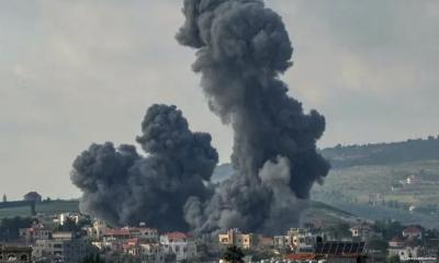
After declaring a specific military zone following a ceasefire, satellite imagery shows that the reality in impacted villages and towns far exceeds the official zone. The destruction and subsequent construction of military infrastructure in these civilian areas indicate a long-term strategy of control rather than temporary tactical positioning. Satellite evidence documents fixed military outposts that remain active well outside the declared military zone.Southern Syria remains a point of significant escalation.
Although no official Israeli map defines the military footprint in southern Syria, the investigation identified fixed military outposts situated well beyond the "Alpha Line," which traditionally separates the occupied Golan Heights from the rest of Syria. These outposts represent a clear deviation from existing de facto borders. The creation of these positions suggests a creeping consolidation of territory under military rule.Combined, these areas represent over 1,000 square kilometers of direct military jurisdiction.
The investigation utilized a rigorous methodology, integrating official maps published by the Israeli military, satellite imagery captured post-ceasefire, and spatial calculations from Geographic Information System (GIS) data. Furthermore, incident reports from the Armed Conflict Location & Event Data Project (ACLED) helped confirm the activity patterns observed. This triangulated approach leaves little room for ambiguity regarding the scale of the presence.This military footprint signals a shift in the regional status quo.
The discrepancy between declared military zones and the actual footprint on the ground suggests that the definition of "control" is being stretched to accommodate strategic permanence. As the findings demonstrate, these actions are not merely tactical necessities but are reshaping the regional landscape. With each passing ceasefire, the distance between what is claimed in maps and what exists in reality continues to grow.