Specialized thermal drones are scouring the subsoil of Scotland`s Cairngorms National Park to locate smoldering embers nearly three months after a devastating wildfire swept through the landscape. While the visible wall of flames was brought under control following the outbreak in July, subterranean heat continues to threaten the regenerating wilderness. Dawn surveillance flights have become essential to preventing renewed flare-ups across the charred Scottish highlands.
The fire is still burning underground.
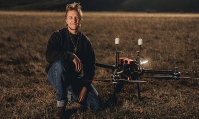
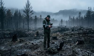
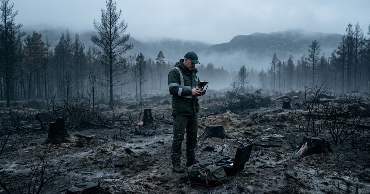
Drone operator Pete Short conducts regular dawn patrols, sending infrared cameras aloft to detect invisible thermal signatures radiating beneath the woodland floor. During his previous flight, the equipment uncovered eight separate subterranean hotspots hidden beneath layers of peat and root systems. When crews reached the precise global coordinates indicated by the drone, scraping away a superficial layer of soil quickly exposed rising smoke from scorching stones and burning humus. Operators pointed out that locating these smoldering pockets would be impossible through conventional line-of-sight observation alone.
The emergency began in mid-July and ultimately consumed approximately 3,300 hectares—an expanse covering 33 square kilometers—according to data released by the Cairngorms National Park Authority. During the initial crisis, five experienced commercial pilots coordinated airspace intelligence alongside helicopters and ground fire crews operating through dense walls of flame. That tactical deployment has now transitioned into a methodical search for residual heat buried beneath the forest floor.
Hidden hotspots carry the potential to restart massive fires.
Field teams rely entirely on geographic coordinates provided by drone telemetry to dig into the ground and douse persistent combustion points with water. Ben Jones, senior site manager for the Royal Society for the Protection of Birds at Abernethy, noted that conservation personnel have contended with the blaze for over two months under strict staffing limitations. Knowing the exact locations of subsurface heat allows managers to deploy small intervention crews efficiently rather than exhausting resources on broad searches across rough terrain. Even with the arrival of colder and wetter autumn conditions, forest managers emphasize that leaving underground embers unchecked risks reigniting the surrounding dry vegetation.
The ecological toll across the scarred pine forest is stark, characterized by blackened trunks and lingering chemical odors from scorched timber. Yet pioneering life forms are already surfacing through the ash, including fresh plant shoots, bright fungi, and yellow wildflowers. Dr. Sarah Henshall, head of conservation at the Cairngorms National Park Authority, indicated that measuring the full environmental fallout remains a complex challenge, noting that total biological recovery may span decades or even generations.
The aerial systems used during the initial disaster are now being repurposed to track long-term habitat restoration. Automated flight paths programmed across established waypoints allow conservationists to take standardized photographic surveys over months and years, documenting how native plant communities recolonize the damaged ground. Technicians also intend to deploy the aircraft for early canopy surveillance, catching fresh ignitions before they can spread across the tree line.