Shorelines constantly shift with the weather, presenting a major monitoring challenge for researchers. An international network of volunteers armed with camera phones is now helping scientists track these coastal movements day by day.
The CoastSnap initiative began in Australia in 2017 and has since expanded to beaches around the world. There are now more than 200 monitoring stations operating across 21 countries, forming the largest coordinated land-based coastal monitoring programme globally.
Beachgoers walking along the coast may encounter the physical setup at participating locations. Each site features a metal cradle designed to hold a smartphone steady, accompanied by an instructional sign explaining where to submit the photograph.
Natural coastal shifts happen constantly. Large waves and high tides strip sand away from a beach, whereas calmer conditions deposit material and rebuild the shoreline. Sandbars also migrate inward and outward, altering their shape as waves and tides interact with the coast.
Some of these geographical shifts are temporary, while others prove permanent. Capturing these variations manually is a labour-intensive task, making public participation through camera phones a valuable asset for researchers studying shoreline dynamics.
The physical cradle at each station ensures that every photograph is taken from roughly the same position and angle. Once submitted, specialist software aligns the images and performs a geometric flip to generate a bird-s-eye perspective of the beach.
An automated algorithm then maps the shoreline using the photograph. The system applies corrections for the tide level by referencing the exact timestamp recorded when the picture was taken.
Data gathered through the network helps researchers monitor coastal erosion over extended periods. Scientists also use the crowdsourced images to evaluate the specific impact of individual storms on vulnerable shorelines.
Also, the monitoring programme allows experts to assess how effectively beach replenishment schemes are performing. These engineering projects add new sand or shingle to bolster eroding coastlines, and the photo stations track how well those interventions hold up.
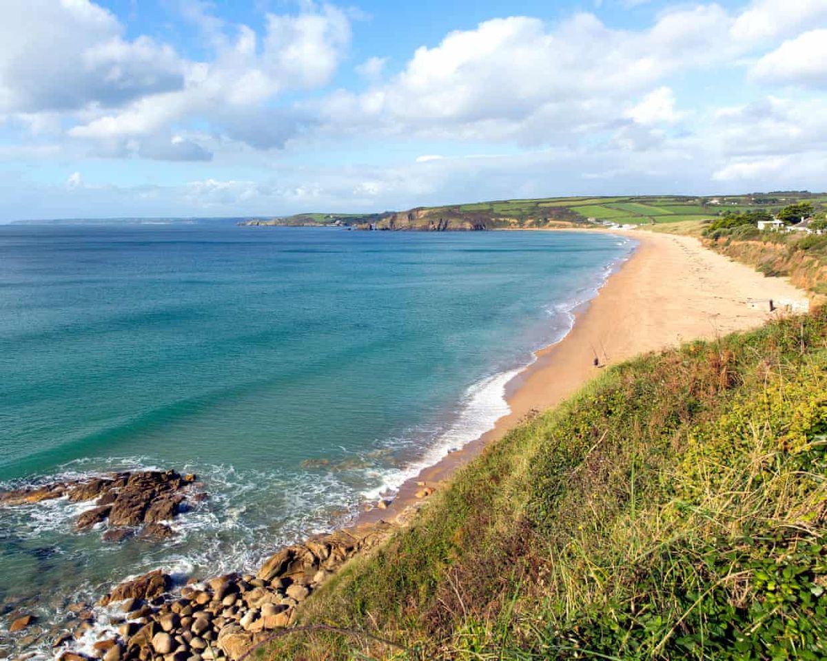
Stations are currently established in numerous locations, including multiple sites along England’s south-west coast, such as Praa Sands beach in Cornwall.